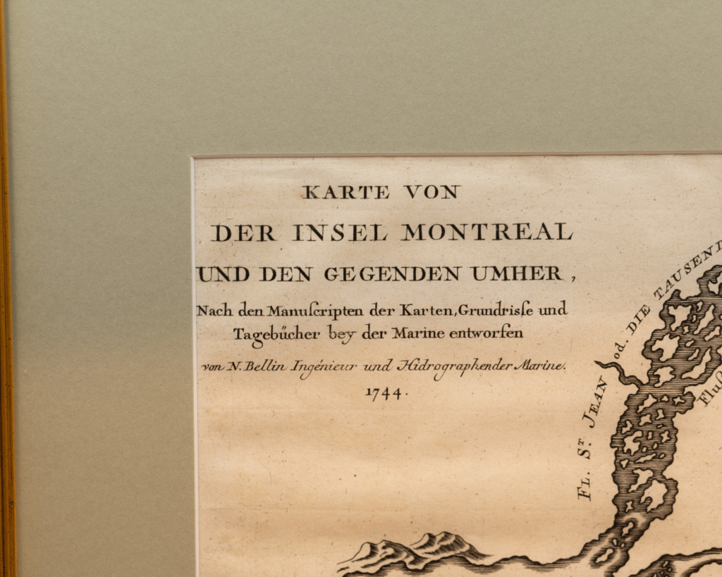
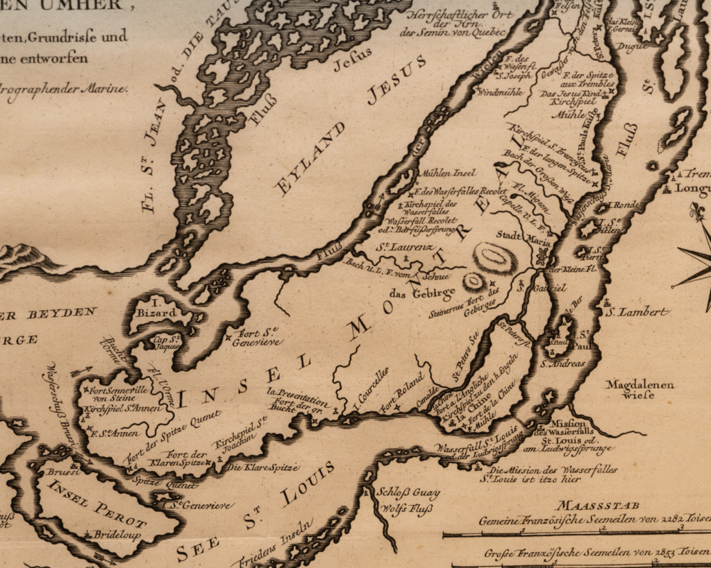
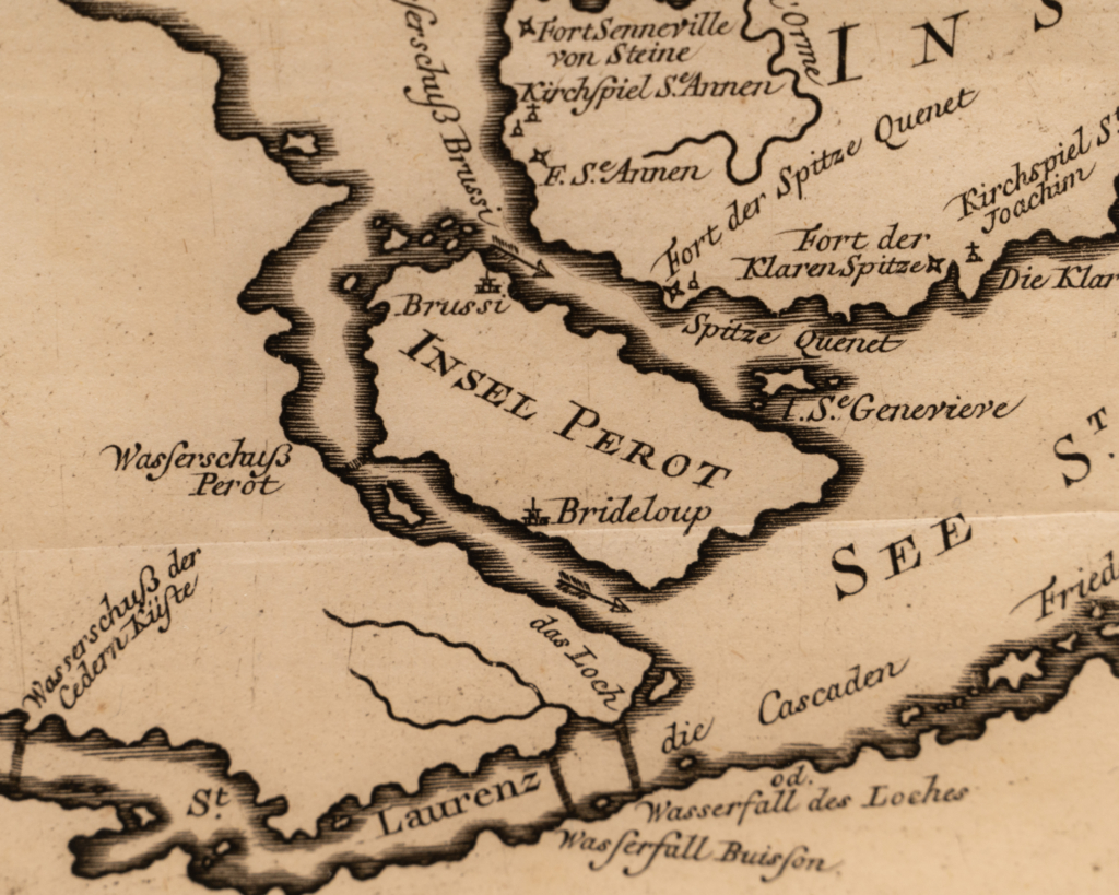
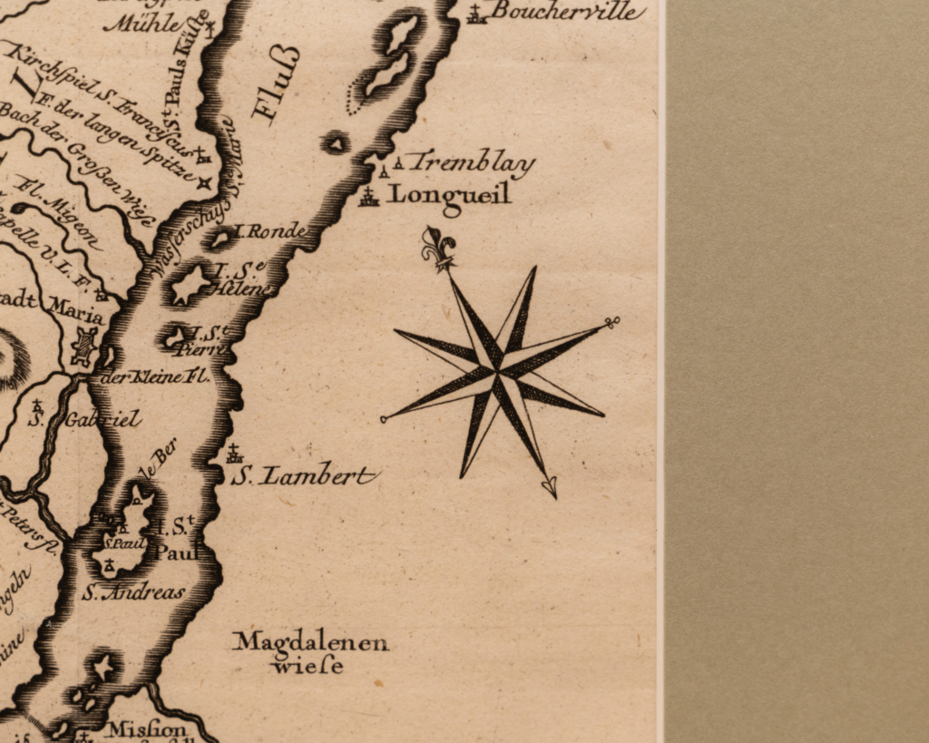
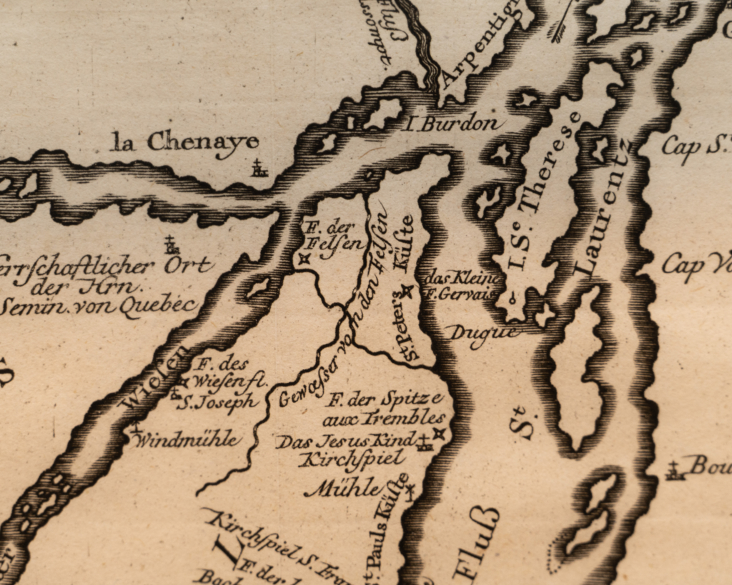
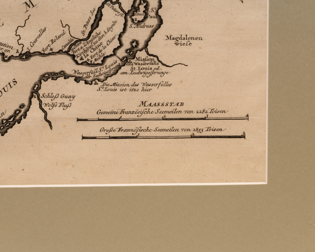
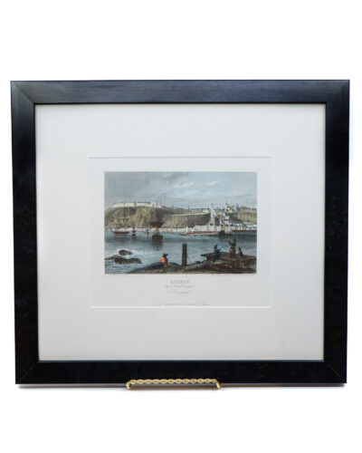
Map of the Island of Montreal by Jacques Nicolas Bellin
One of the oldest maps of Montreal available, an important map in the German version describing the Montreal region and its surroundings, published in the Petit Atlas Maritime.
The map (without the plan of Montreal) was originally drawn from handwritten sketches brought back to Paris by Pierre François Xavier de Charlevoix (1682-1761), a Jesuit priest who traveled across Canada and the eastern regions of North America between 1705 and 1720. Engraved under the direction of Jacques Nicolas Bellin (1703-1761), hydrographer to the king in Paris, this plan was included in the History and General Description of New France, published in Paris in 1744.
The map of Montreal (or Ville-Marie) was added specifically for this edition of the map and includes a key locating 15 places.
| Dimensions |
17 × 15 in |
| Year |
|