20240209_0107

Engravings

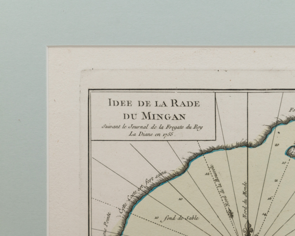
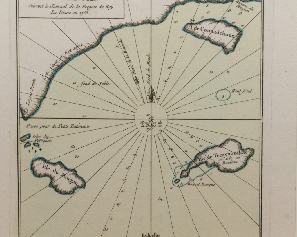
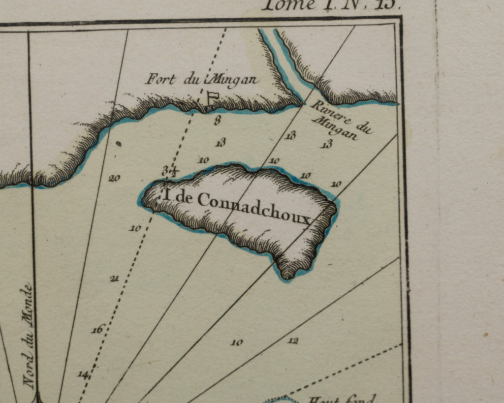
French map of the idea of the Rade du Mingan by Jacques Nicolas Bellin

An excellent map of the Mingan’s port and the coastal islands, taken from the Petit Atlas Maritime de Bellin dating from 1764.

The map shows a section of the Quebec coast, at the mouth of the Gulf of St. Lawrence, just north of Anticosti Island, Canada.

The map is based on a survey carried out by the French frigate Diane in 1755.

Mingan is the homeland of the Innu people, who used the region in the summer to fish for salmon, hunt whales, gather with family and trade with each other. In 1661, the French established the Seigneurie de Mingan, as European colonization intensified and the fur trade developed in the region.

225.00 $ + tx

Dimensions 14 × 13 in

Antiques rental

Photo shooting, wedding, advertising? Our catalog is available for rental. It is possible to rent also for a longest time. Contact us for more information. Renting fees
For one day : 15% of item price For 2 to 7 days : 20% of item price

Shipping rates

The shipping costs vary according to the object and the destination. Some items, such as furniture or more fragile items, require special attention for delivery. You will find in the page of these products a note telling you to contact us before buying the item. This method will allow us to accurately evaluate the delivery cost associated with your order. For more details, please visit the Shipping section.