Engravings
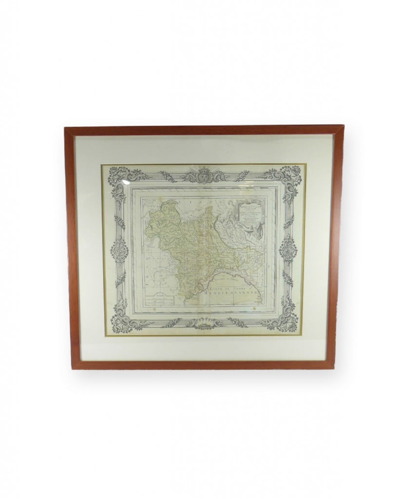
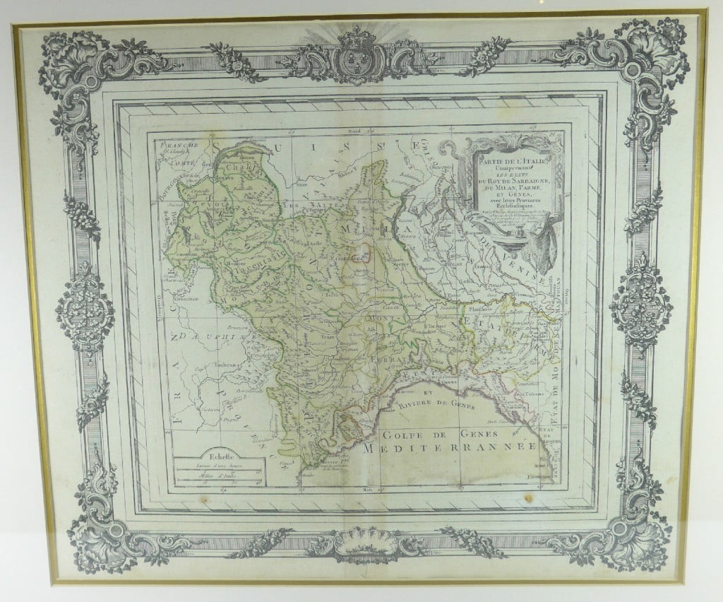
Original 1766 map of Italy
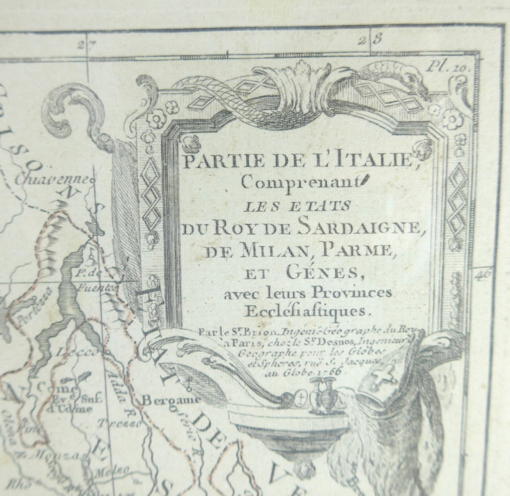
Original engraving illustrating a part of Italy “including the states of the King of Sardinia, Milan, Parma and Genoa with their ecclesiastical provinces”. Work taken from the work of Louis Brion de la Tour. De la Tour (ca. 1743-1803) was a French geographer and demographer. Little is known about Louis’ youth, but some glimpses of his professional life survive. He earned the title of Ingénieur Géographe du Roi. Much of his work was done in partnership with Louis Charles Desnos, who was a bookseller and geographic engineer for the Danish Crown Globes. He worked on the Indicateur fidèle or guide des voyageurs, which taught all the royal routes between 1762 and 1785. During his career, he also worked on several atlases. In 1795, he had obtained a pension from the National Assembly. This pension may have been granted to him in part because his son, also Louis Brion de la Tour (1763-1823), was an engraver who made prints of the Revolution, as well as maps. The engraving alone measures 24 x 18 inches.
375.00 $ + tx
| Dimensions | 22 × 20 × 1 in |
|---|---|
| Year |
